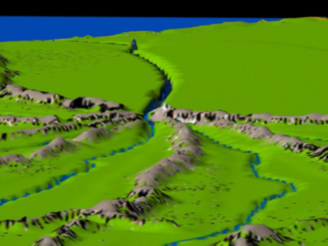
Center of Mu, looking northward
This picture looks northward. In the foreground we have the Mu
and Cari valleys. In the distance, the Hatamukulian River divides
the Tama Valley and the Rhu Hut Plains.
Keep in mind, when viewing the original map and all my 3D renderings,
that they are built on a 2D projection of a spherical surface. All these
views are warped. I leave it up to your imaginations to warp them back
to reality (whatever that is) because I'm a long way from being able to
warp this thing onto a sphere, using my software.
Home | The Lemuria Mailing List |
FAQ
Maps of Lemuria
Lemuria Books | Lemurian
Resources | Links